Inertial navigation solution AGM-PS
Complex integrated solution for ensuring stable uninterrupted positioning of vehicles, including in conditions of poor or completely absent signal of GNSS.
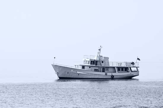
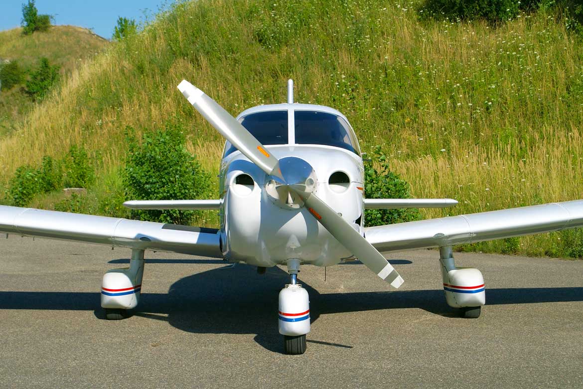
The system be used inside of airborne and mobile mapping systems or separately. It provides for the issuance and reception of synchronization signals for the connection of any third-party equipment.
The inertial movement units (IMU) of different country production (including Russia), developed with the using technology of fiber-optic gyroscopes (FOG), inside of the AGM-PS, are not subject to any export restrictions.
Novatel Inertial Explorer software used for post-processing enables to obtain a complex solution with the using the data from stationary base stations in differential mode and in the precise point positioning mode - PPP (using precise ephemeris of satellites).
The most important components of the system are manufactured in Russia and do not fall under export restrictions.
Inertial navigation - the determination of the coordinates and parameters of the motion of various objects - ships, aircraft, cars, etc., based on the properties of inertia of bodies, which is autonomous, that is, does not require the presence of external landmarks or incoming signals from outside.
The combination of data from the inertial movement units (IMU) and the satellite positioning system (GPS, GLONASS, Galileo, BeiDou) allows not only to obtain information on the orientation of the vehicle in three-dimensional space, but also to refine data on the trajectory in conditions of a difficult or missing signal from GNSS.